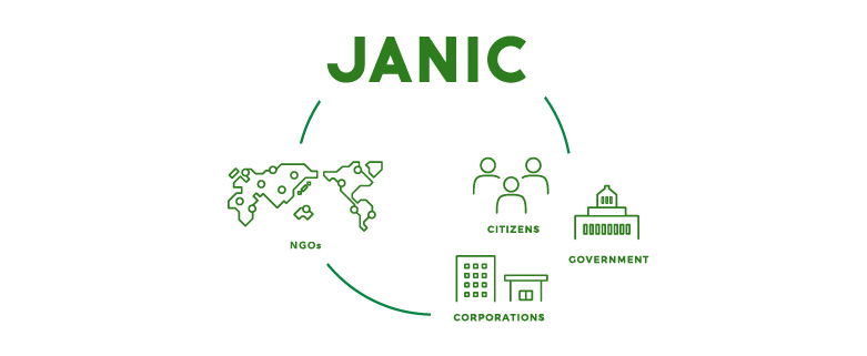
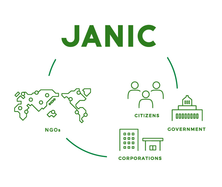
JANIC is an NGO network maximizing the power of civil society to solve global issues.
Coordinated G7 Response to the Ebola…
Meeting with Takeshi Akahori, Senior…
Opinion: The 3Ds for a Credible Post…
Civil7 Summit 2026
Introducing the Forus Post-2030 Visi…
Global Summit Watch Webinar on the O…